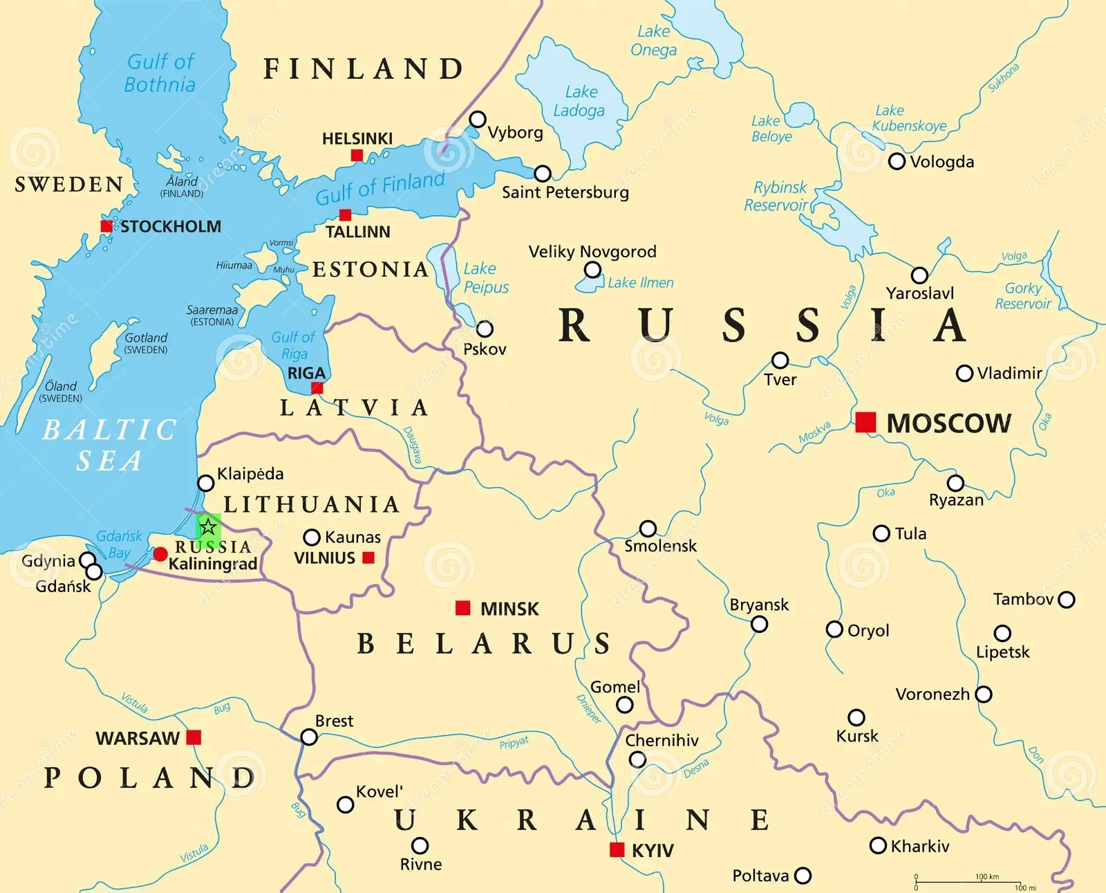
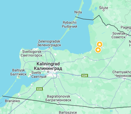
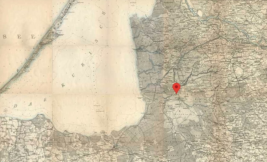
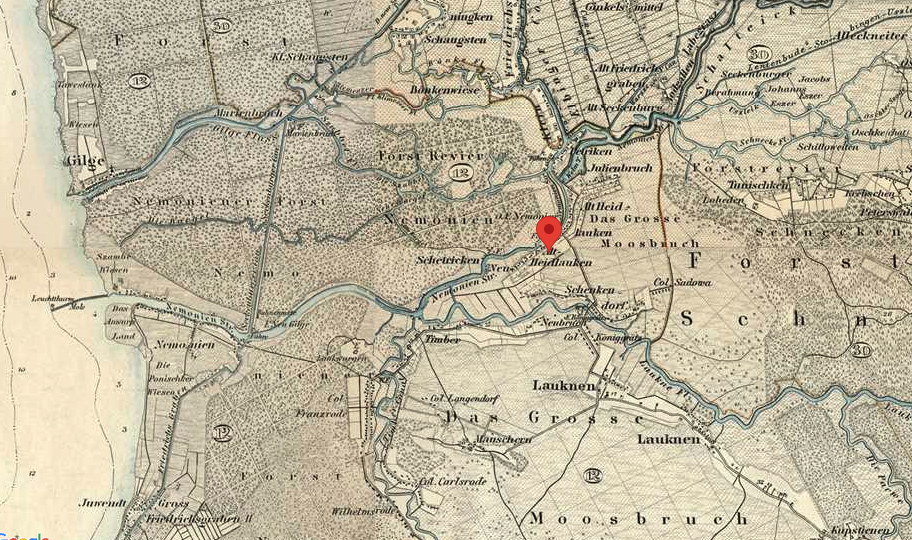
Google maps showing both Oma and Opa’s birthplaces: http://tinyurl.com/ywsty42p. Examining it in satellite view shows remnants of towns and roads, but the area is now abandoned.
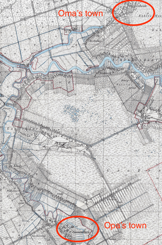
Oma grew up in the village Alt Heidlauken, which was renamed Wiepenheide between 1938-1945. The closest town was Lauken in the district of Labiau.
Opa grew up in the town of Alt Sussemilken, renamed Karlsrode between 1938-1945.
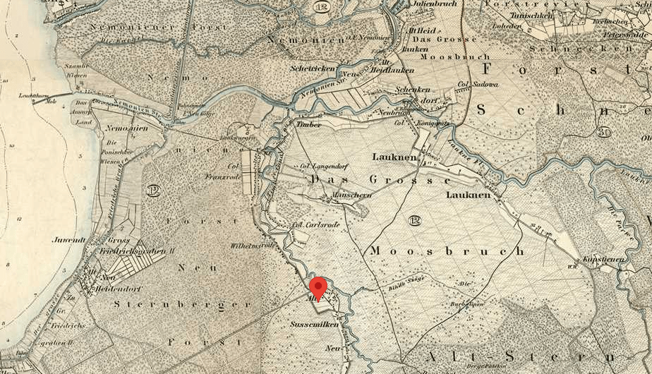
Another map of the time, showing how close Oma and Opa lived to one another.